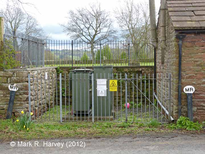
A pair of Midland Railway 'MR' boundary markers can be seen standing either side of this former gateway. The field beyond what is now an electricity sub-station, and more importantly the adjacent stretch of the River Eden (to the left, not visible), were once owned by the Midland Railway Company, despite this land being entirely separate and some considerable distance from the railway (about a quarter of a mile horizontally and 65 feet vertically below it). The 1911 landplans reveal that the Midland Railway Company owned numerous plots of land like this, along with the associated water rights, to provide a supply of water for both the locomotives and for domestic use.
The south-west marker (this structure) is the one to the right of this image.
