Image

Image Details
Brief description of image
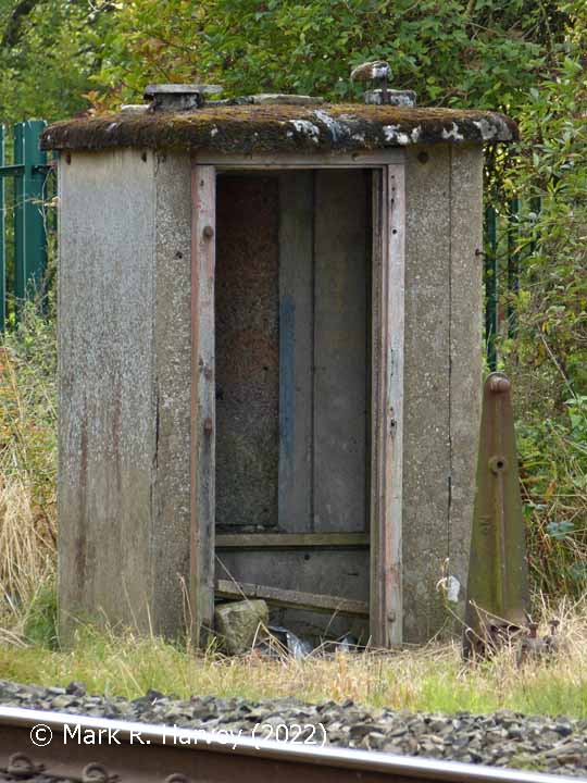
'Down' Fog hut near Haw Lane, elevation view from the NNW.
Image Type
Elevation view
Image Contributor
SCRCA Project Contributor: Mark R. Harvey
Contributor's Reference
PAI_062
Image Date
Location Reference(s)
