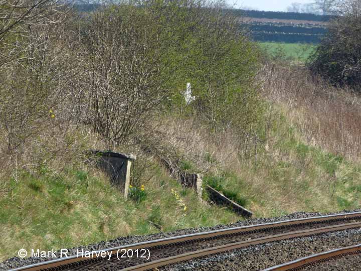
According to the 1911 Midland Railway Co. landplan, the 'oil store' / 'lamp hut' for Langwathby Signal Box stood in a small recess in the embankment to the south of the station. The site is currently occupied by what appears to be a former fog hut, the top corner of which is visible left of centre of this image. The signal box itself occupied a separate, larger recess in the embankment and the top of its associated retaining wall is visible in the centre of this image, i.e. to the right of / just beyond the fog-hut.
