Image

Image Details
Brief description of image
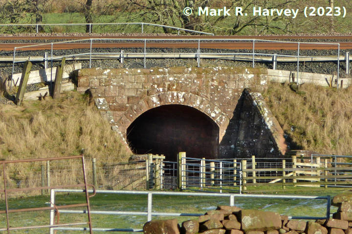
Bridge SAC/304, elevation view from the west. (Includes site of P-Hut 291880.)
Image Type
Elevation view
Image Contributor
SCRCA Project Contributor: Mark R. Harvey
Contributor's Reference
PAI_866
Image Date
Image Notes
This photograph includes the site of a demolished platelayers' hut (SCRCA structure 291880), which was located at the base of the embankment, to the left (northwest) of Bridge SAC/304.
