Image

Image Details
Brief description of image
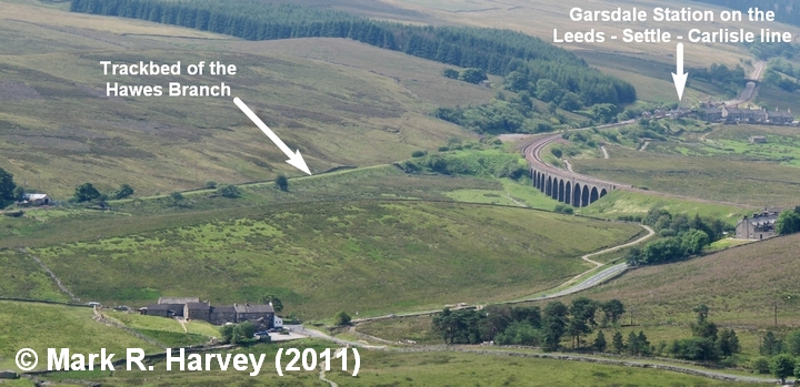
Garsdale Junction and Hawes Branch trackbed: Aerial view from northeast.
Image Type
Context view
Image Contributor
SCRCA Project Contributor: Mark R. Harvey
Contributor's Reference
AFO_005
Image Date
Location Reference(s)
Image Notes
This image was taken from the public bridleway near Cotter End.
