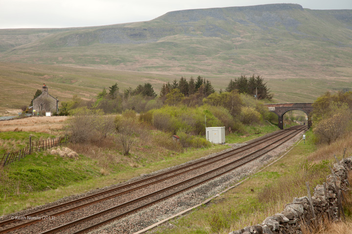
The B6259 Hawes to Kirkby Stephen road runs almost parallel to the railway line between Moorcock Tunnel North Portal (Structure ref 257630) to Birkett Tunnel South Portal (structure ref 264300). For the most part therefore access to structures along this length of the line is easy. Many structures can be viewed from the roadside (parking places are readily available) or by way of footpaths and Access land.
Visibility is poor from the west due to trees, the better view of the site is from access land to the east of the line.
The image also includes Ais Gill Workers' Housing (Structure ref 259820), Bridge 132 (structure ref 259800), Ais Gill Lamp Hut (structure ref 259700) and Ais Gill Summit sign (Down) (Structure ref 259740) and the sites of the former Platelayers Hut (structure ref 259690) and Ais Gill Signal Box (structure ref 259710).
