Image

Image Details
Brief description of image
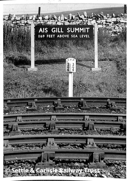
Ais Gill 'Up' side summit sign and Milepost 259¾, NW elevation.
Image Type
Elevation view
Image Contributor
SCRCA Project Contributor: Settle and Carlisle Railway Trust
Contributor's Reference
SC00206 / scrt0001_96
Date-related Note
August 1953
Location Reference(s)
Image Notes
This image was obtained from the archive of the Settle & Carlisle Trust and it is used here with permission. Key details from the associated catalogue entry (extracted on 8 January 2022) are as follows:
- Image Location: Ais Gill summit
- Image Description: Sign
-
Image File Name: scrt0001_96.jpg
-
Image Photographer: Geoffrey Gordon Hoare
-
Image Collection: David Joy
- Catalogue entry URL: https://settlecarlisletrust.org.uk/archives/sc00206/
