Image

Image Details
Brief description of image
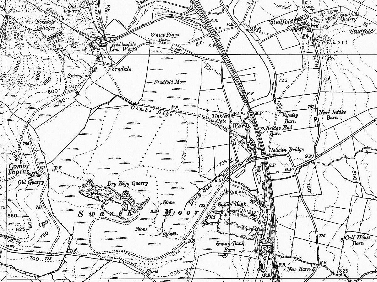
Dry Rigg Quarry and Sunny Bank Quarry: map extract (OS 6", 1956).
Image Type
Map
Image Contributor
SCRCA Project Contributor: Ordnance Survey
Date-related Note
Map published in 1956.
Location Reference(s)
Image Notes
This extract from an Ordnance Survey six-inch series map (published in 1956) was obtained from the National Library of Scotland - URL:
https://maps.nls.uk/view/189181071
It is used here under the Creative Commons licence "Attribution-NonCommercial-ShareAlike 4.0 International (CC BY-NC-SA 4.0)". For licence details, see:
https://creativecommons.org/licenses/by-nc-sa/4.0/
