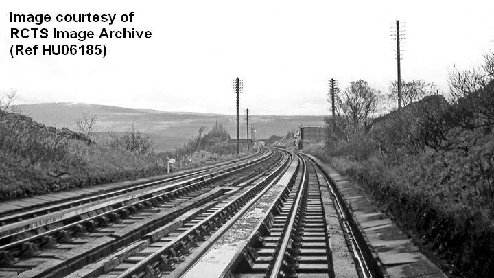
This track-level view of the southwestern end of the water troughs in Garsdale (looking northeast) is believed to have been taken some time during the 1960s.
The following structures are visible in the distance, near the centre of the image:
- the platelayers' hut used by the permanent way workers responsible for maintaining this section of track,
- Bridge SAC/113 and
- the tank house that kept the water level in the two troughs topped-up.
Note too the gradient post and oval sign beside the 'Down' main line, slightly left of centre. The gradient post indicates the start of the level section of track ('360 rising', closest to the camera and 'Level' beyond). The oval sign ('109') indicates the position of Bridge SAC/109 (a 3'6 diameter culvert for Ling Gill).
This image was kindly supplied by the RCTS Image Archive (RCTS reference HU06185) - see:
https://rcts.org.uk/features/archive/
