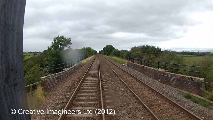
SCRCA structure 271550: Bridge SAC/213 Soulby and Asby (PROW - minior road)
; Elevation view from the North East")
Key details from the Location Record
- Location Type
- Bridge (Underline)
- Location Variant
- Span - Arch (single)
- Assessment status
- Assessed
- Current Use(s)
- Railway ops
- Shown on a land plan?
- Yes
- Construction / installation period
- 2: MR construction phase (1869 to 31st Dec 1876)
- Distance from London St.Pancras
- 271 miles and 46 chains
- Position relative to running lines
- Below
- Visibility
- This location IS visible from nearby publicly accessible land.
- Accessibility (ease of access)
- Easy
- Protection Category
- Conservation Area Only
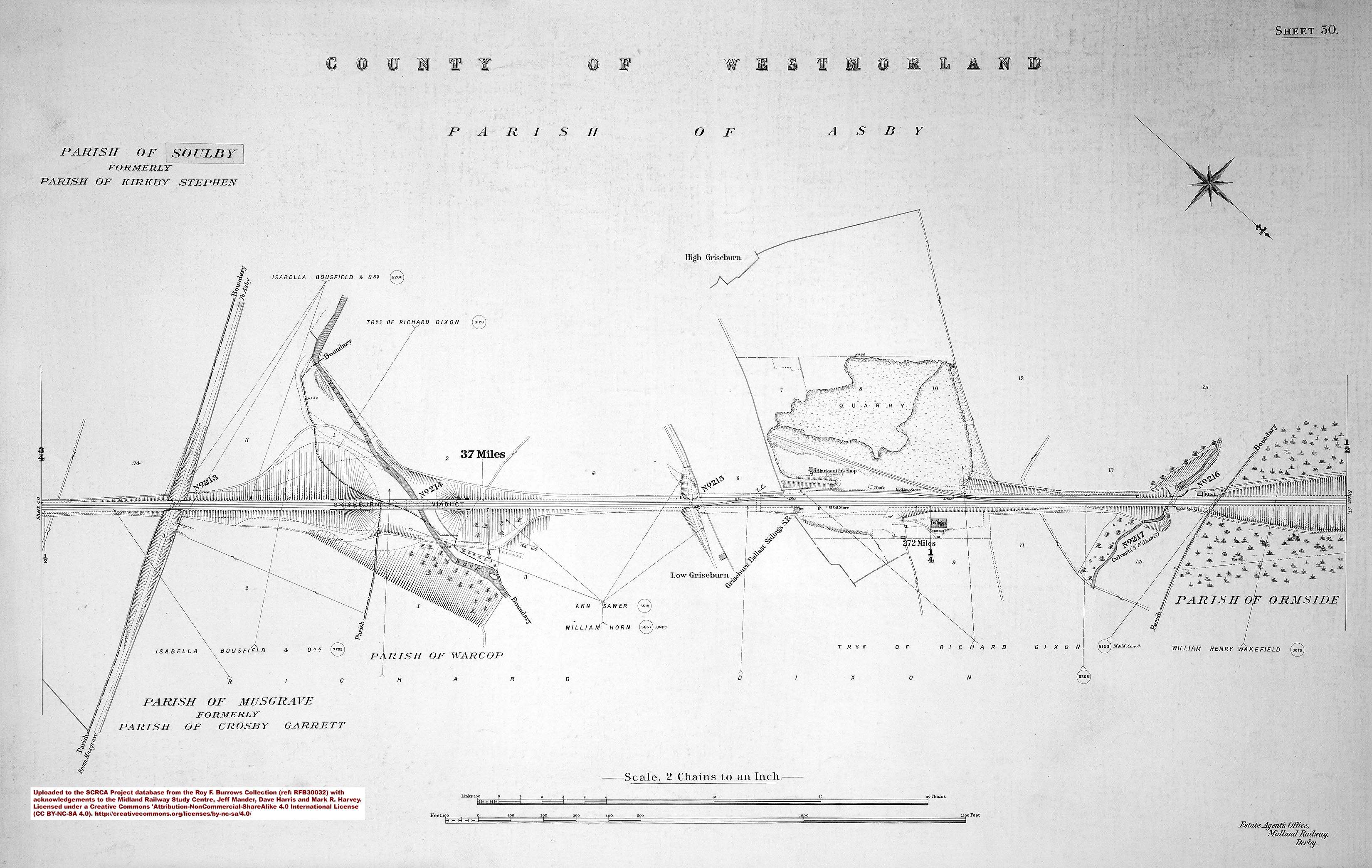
- Geographic Location
- View this location on mapping. or on aerial imagery.
Image Gallery
Tips: To view a larger version of an image, click on its thumbnail (i.e. the small image). To view the acknowledgements and notes associated with an image, click / tap on the image title.
Context views

Elevation views
; Detail view from the South West")
; Elevation view from the North East")
; Elevation view from the North East")
; Elevation view from the South")
Detail views
; Detail view from the East")
; Detail view from the North East")
; Detail view from the North East")
; Detail view from the North West")
; Detail view from the South")
; Detail view from the South")
; Detail view from the South West")
; Detail view from the South West")
; Detail view from the South West")
; Detail view from the South West")
; Detail view from the South West")
Cab-views
|
Errors and omissions |