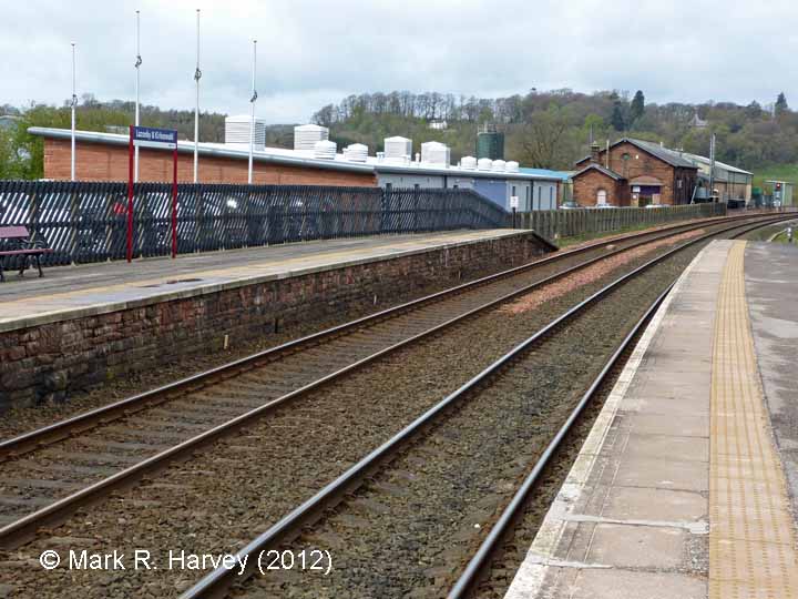
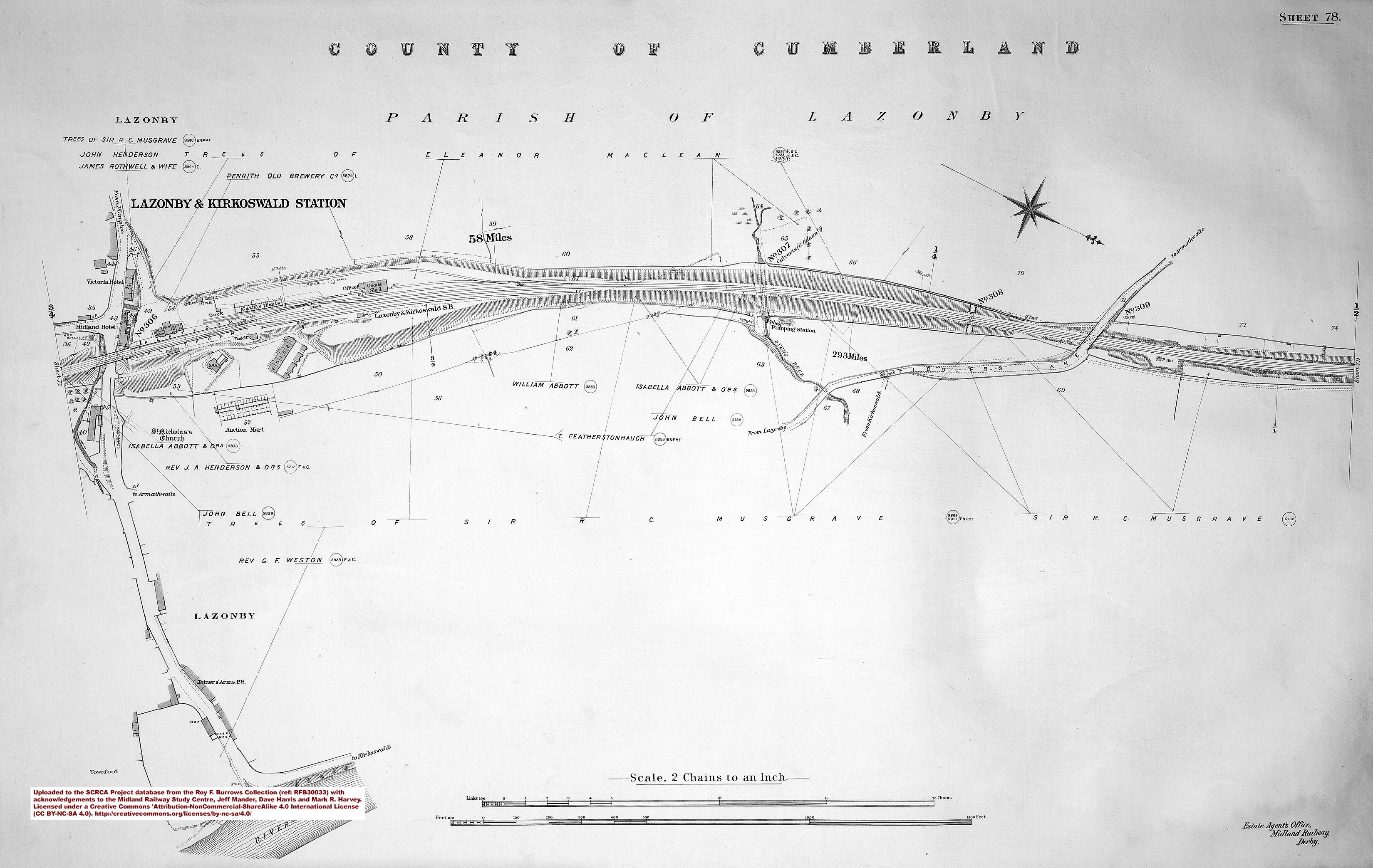
SCRCA structure 292640: Lazonby & Kirkoswald Station Cattle Dock
We do not currently have a meaningful
image of this site / structure.
If you have one that you are willing to share,
please Contact Us.
Key details from the Location Record
- Location Type
- Cattle Dock
- Location Variant
- Cattle Dock - 8 pens
- Assessment status
- Assessed
- Current Use(s)
- Demolished
- Shown on a land plan?
- Yes
- Construction / installation period
- 2: MR construction phase (1869 to 31st Dec 1876)
- Distance from London St.Pancras
- 292 miles and 53 chains
- Position relative to running lines
- Down
- Visibility
- This location IS visible from nearby publicly accessible land.
- Accessibility (ease of access)
- Easy
- Protection Category
- Conservation Area Only
- Geographic Location
- View this location on mapping. or on aerial imagery.
Image Gallery
Tips: To view a larger version of an image, click on its thumbnail (i.e. the small image). To view the acknowledgements and notes associated with an image, click / tap on the image title.
Context views

Cab-views

|
Errors and omissions |