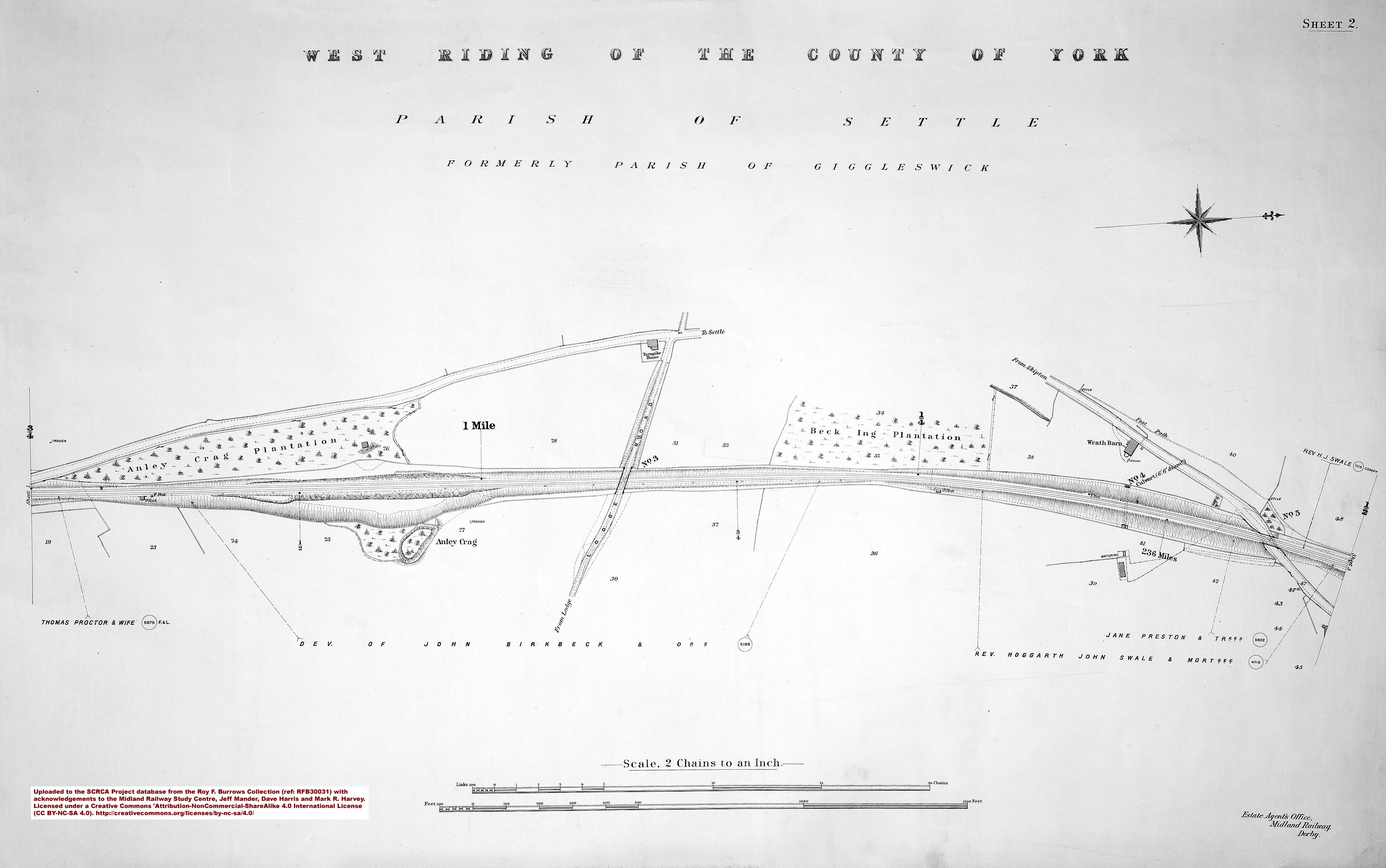
SCRCA structure 235500: Milepost 235½

Key details from the Location Record
- Location Type
- Milepost
- Location Variant
- Milepost - MR2 - Half mile
- Assessment status
- Assessed
- Current Use(s)
- Railway ops
- Shown on a land plan?
- Yes
- Construction / installation period
- 3: MR operational phase (1st Jan 1877 to 31st Dec 1922)
- Distance from London St.Pancras
- 235 miles and 40 chains
- Position relative to running lines
- Up
- Visibility
- This location IS visible from nearby publicly accessible land.
- Accessibility (ease of access)
- Easy
- Protection Category
- Conservation Area Only
- Geographic Location
- View this location on mapping. or on aerial imagery.
Image Gallery
Tips: To view a larger version of an image, click on its thumbnail (i.e. the small image). To view the acknowledgements and notes associated with an image, click / tap on the image title.
Context views

Elevation views

Cab-views

|
Errors and omissions |