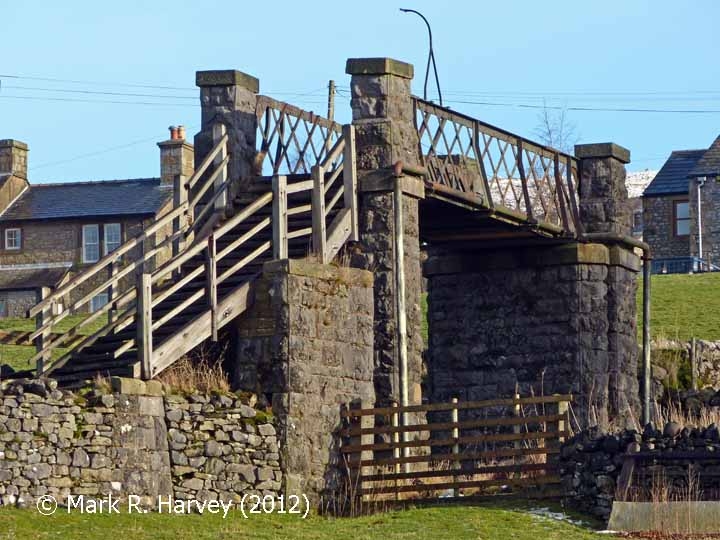
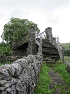
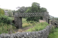
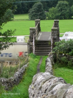
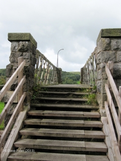
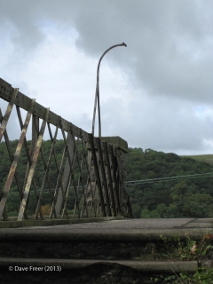
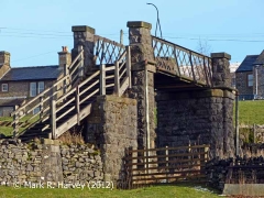
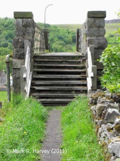
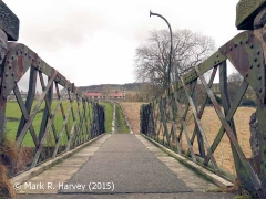
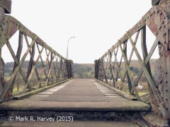
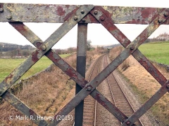
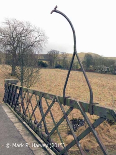
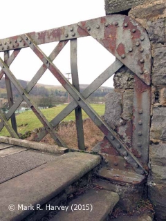
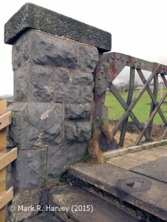
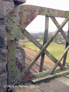
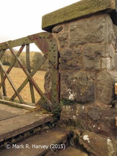
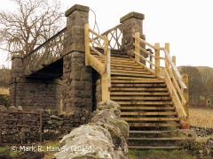
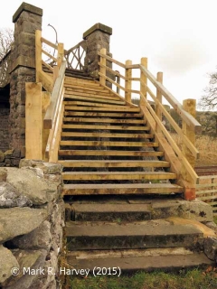
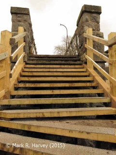
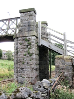
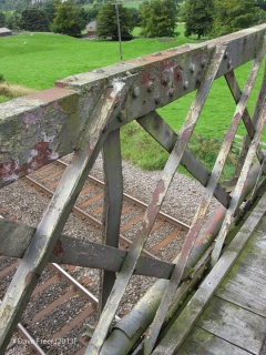
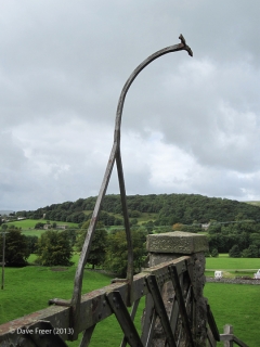
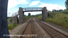
This structure is 'unique' along the route of the Settle & Carlisle Railway (S&CR) in terms of both its design and its provision.
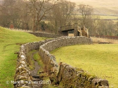
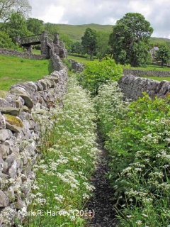
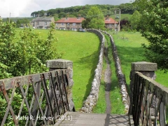
It gets its name from Mr. Hector Christie (the owner of the 'gentleman's residence' known as Langcliffe Place and the adjacent mill complex) and it is the only example of a 'lattice girder' footbridge to have been installed during the initial construction works. (Bridge SAC/200 at Crosby Garrett was provided for a bridleway and the footbridges at Appleby, Kirkby Stephen and Settle stations are later additions.) As can be seen in the photos, the footpath could easily have crossed the line 'on the level' (a method that was considered perfectly adequate / acceptable elsewhere along the route). This begs the question "why did the Midland Railway Company (MRC) expend a considerable amount of time, effort and money constructing a footbridge at this particular location?" We have not yet found a definitive answer in the contemporary sources. However, the likely reasons include some or all of the following:
- Hector Christie was an influential businessman and he may have insisted on uninterrupted access between Langcliffe village and his mills & house.
- The railway immediately to the north of the footpath follows a relatively tight curve and the tracks are laid in the bottom of a cutting. This restricts the line of sight, obstructs the path of sound waves and significantly increases the likelihood of an accident involving footpath users.
- This part of the Ribble valley suffers frequently from low-lying mist & fog (which deaden sound and further restrict visibility).
- In the second half of the 19th century, the footpath would have been heavily used, especially at the start and end of mill shifts.
- People rushing to get to work on time and then exhausted by long, hard shifts are likely to be inattentive (thereby further increasing the level of risk posed by a level crossing).

