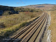
SCRCA structure 246550: Salt Lake Quarry Siding

SCRCA Location Introduction

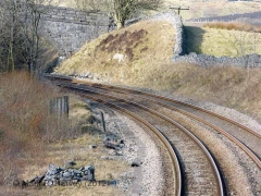
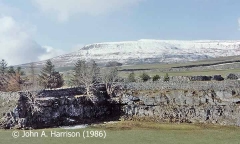
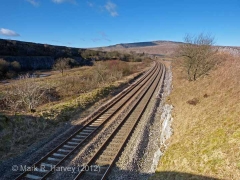
During the construction of the Settle & Carlisle Railway, a quantity of limestone was extracted from a strip of land to the west of the railway near Colt Park, in the area now known as Salt Lake (on either side of Bridge SAC/63). The quarried limestone was crushed on site, then initially used as ballast on nearby sections of the railway.

It has often been suggested that the stone blocks used to construct Ribblehead Viaduct were quarried from this site. However, the stone is significantly different (in terms of appearance and structure) to that used for the viaduct and the claims are also contradicted by reliable historical accounts.

In 1876, the Craven Lime Company asked the Midland Railway Company to install a permanent railway connection to serve a small network of sidings at the quarry site. The quarry and sidings operated for at least a decade, but map evidence suggests that the sidings and their mainline connection were removed at some point between 1893 and 1907. The sidings are not depicted on the Midland Railway land plans surveyed in 1911/12 and map evidence suggests that no significant extraction has taken place since 1907.

Part of the quarry site is now a two hectare nature reserve that is managed by the Yorkshire Wildlife Trust and has been designated a Site of Special Scientific Interest (SSSI).

We do not currently have a meaningful
image of this site / structure.
If you have one that you are willing to share,
please Contact Us.

Key details from the Location Record

Location Type
Siding
Location Variant
Siding Type - Rail-served industry
Assessment status
Assessed
Current Use(s)
Demolished
Shown on a land plan?
Yes 
Construction / installation period
2: MR construction phase (1869 to 31st Dec 1876)
Distance from London St.Pancras
246 miles (chains not estimated)
Position relative to running lines
Down
Visibility
This location IS visible from nearby publicly accessible land.
Accessibility (ease of access)
Easy
Protection Category
Not Applicable - demolished or relocated
Geographic Location
  View this location on mapping. or on aerial imagery.

Associated Locations

None.

Further Reading (Snippets)

The following 'snippets' contain additional information relating to this location.

Tip: To view a snippet, click / tap on its title.


Errors and omissions
Reasonable efforts are being made to ensure the accuracy of the information obtained and uploaded as part of the SCRCA Project. However, it is possible that a few errors will have crept-in. If you notice any such errors, we would be grateful if you would bring them to our attention using the SCRCA Project Contact Form. The Friends of the Settle-Carlisle Line and the members of the SCRCA Project Team do NOT guarantee the accuracy of the information contained in this database. If you intend to use and / or act upon any of this information, you are advised to verify its accuracy BEFORE doing so.