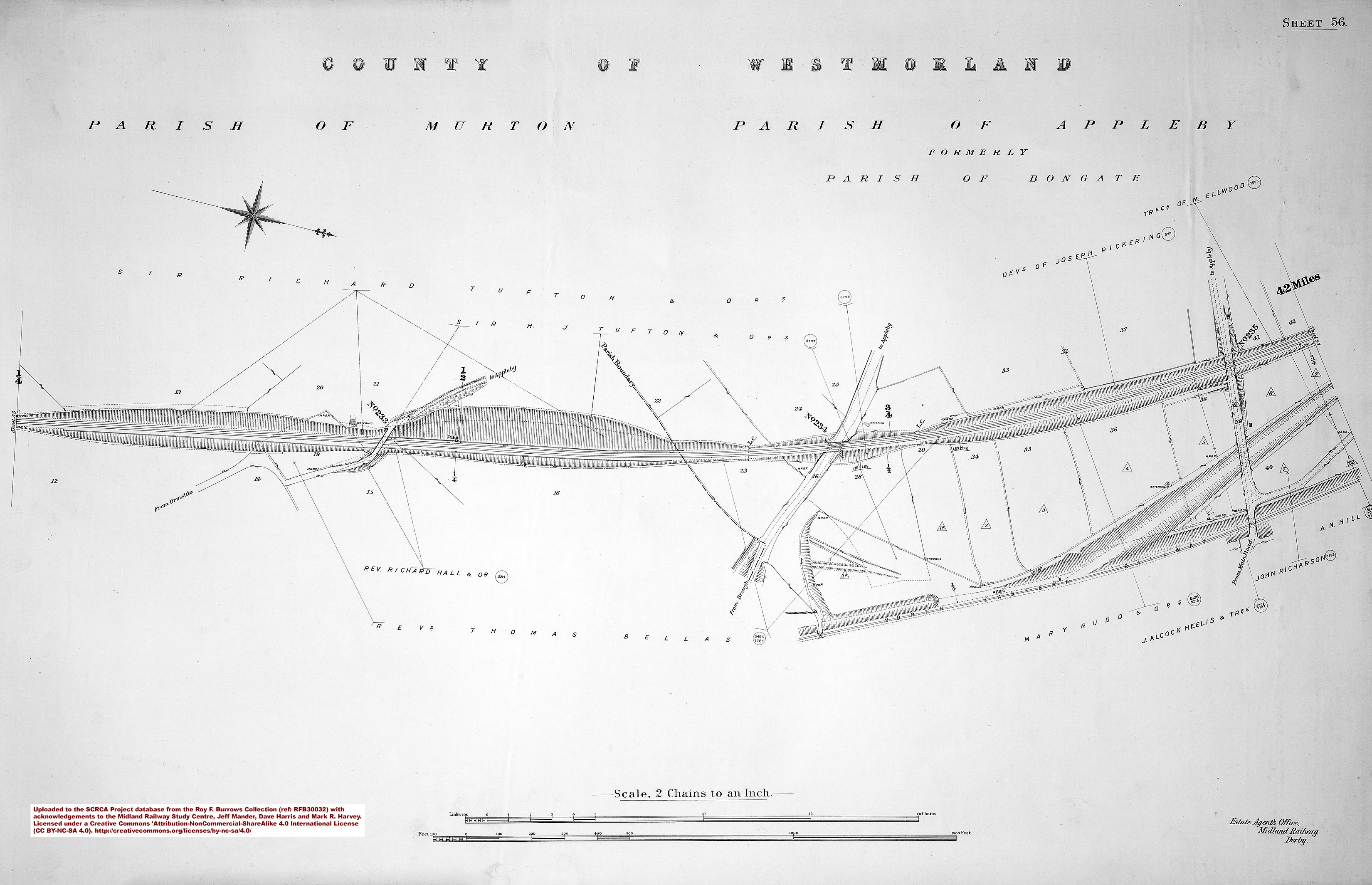
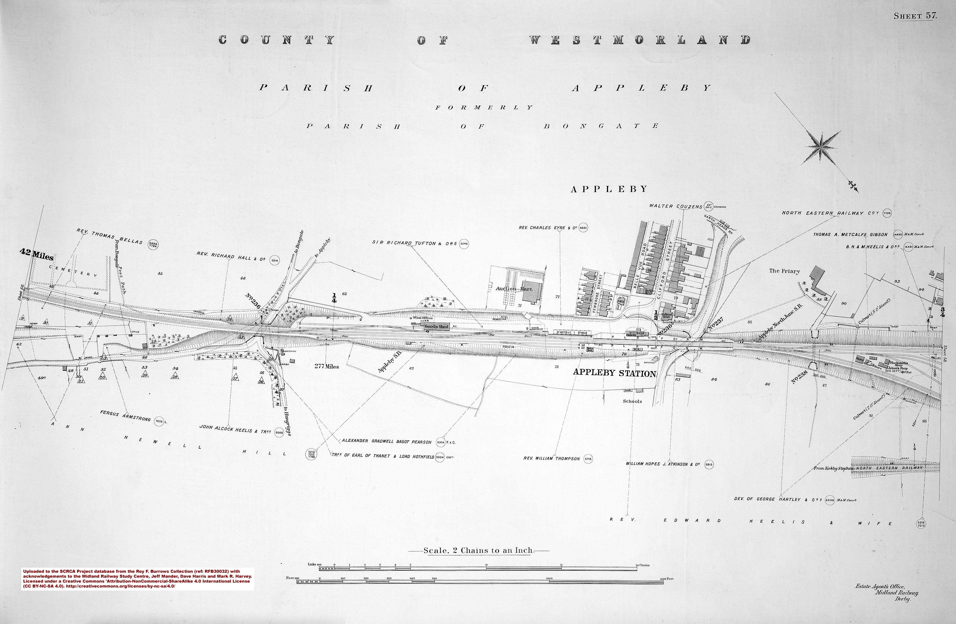
Appleby South Junction was constructed by the Midland Railway Company as part of a plan to facilitate through-running in both directions between its Settle & Carlisle Railway and the North Eastern Railway Company's Eden Valley Railway.
Appleby North Junction was an integral part of the original Settle & Carlisle Railway (S&CR) scheme, but the south junction required additional legislation. This was achieved via section 4, subsection 10 of the Midland Railway (Additional Powers) Act, 1875, which received Royal Assent on 29 June 1875.
The signal box required for the southern link (Appleby South Junction SB) was included in the signalling scheme for the S&CR main line and it opened on 2 August 1875 (probably operating as a simple intermediate block post). However, the construction of the south junction and associated link lines was delayed by a combination of contractual issues, bad weather and a shortage of labourers during the 1876 harvest season.
In his 1966 book "North of Leeds...”, Peter Baughan quotes the following from a Midland Railway engineer's report dated 5 June 1877:
the Appleby South Junction curve is quite finished and the final certificate appended ... the use of the curve is retarded by the non completion of the North Eastern Company's junctions and as the management of the affair has been removed from the engineer to the general manager I can offer no information respecting it.
The available evidence suggests that the south junction and associated link lines never did open for traffic.
Appleby South Junction SB was officially closed on 26 October 1886 and the link line tracks were lifted circa 1901/2.
Part of the site adjacent to the link lines was subsequently occupied by the Express Dairy Co., which had an active rail connection with the Settle & Carlisle Railway from circa 1930 until 1970. Since then, the site has been further redeveloped, but the road overbridge for the link lines remains in-situ.

