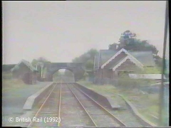
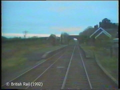
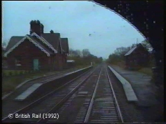
Cumwhinton Station is located at the northern end of the Settle & Carlisle Railway (S&CR), 69 miles 51 chains from Settle Junction and 3 miles 2 chains from Petteril Bridge Junction. The station opened for goods and passenger traffic on 1st May 1876 (although the goods facilities were minimal) and it closed for both goods and passenger traffic on 5th November 1956.
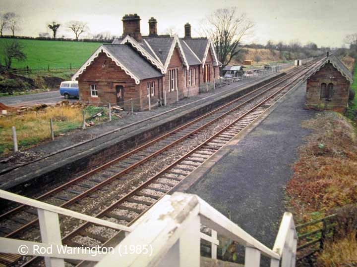
The former booking office building on the 'down' side was constructed from red sandstone (with a slate roof) to the Midland Railway Company (MRC) standard 'Number 2' or 'Medium' design for the S&CR. The exterior of the building is relatively unaltered, but the interior has been adapted for use as a private dwelling.
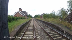
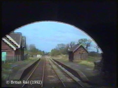
The former waiting shelter on the 'up' side was also built from red sandstone (with a slate roof) to the MRC standard design for S&CR 'waiting sheds'. The exterior remains relatively unaltered, but the building is currently disused and its condition is gradually deteriorating. However, the Settle & Carlisle Railway Trust is hoping to renovate this charming little building and convert it into holiday accommodation.
The two disused passenger platforms have also survived in a relatively unaltered condition, but their surfaces are almost entirely covered with vegetation. On the 'down' platform, a typical diagonal-pattern timber fence (supported by concrete posts) separates the former booking office from the active railway. On the 'up' platform, tubular railings have recently been installed to allow the former waiting room to be accessed & assessed in a relatively safe manner.
The former station master's house and the four workers' cottages are now private dwellings.
The other buildings associated with the station have been demolished and the lie-by & goods sidings have been lifted.

