SCRCA structure 242490: Horton-in-Ribblesdale Station - Barrow Crossing & PROW (footpath)

SCRCA Location Introduction

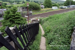
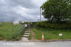
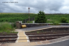
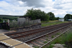
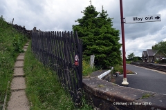
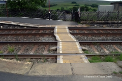
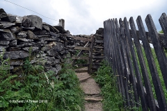
The barrow crossing at the southern end of Horton-in-Ribblesdale Station was unique within the SCRCA. In addition to enabling passengers & staff to cross between the two platforms, it also served as a level crossing for a footpath that predates the construction of the Settle & Carlisle Railway (and the associated station).

In 2010, Network Rail began a long-term programme to reduce the level of risk posed by level crossings by either closing them, or upgrading them. The crossing at Horton was identified as being "one of the most high-risk crossings on the railway network" and, after considering alternative options (including the provision of warning lights & locked gates, the construction of a subway, and diverting the footpath), the construction of a footbridge was identified as the only viable & cost effective solution. To facilitate its construction, the level crossing at the south end of the station was closed and removed during the night of 2nd / 3rd March 2024 and a temporary replacement was opened at the north end of the station. The footbridge has since been built and opened for use (see Location ID 242495). However, the lifts linking the platforms with the footbridge have not yet been installed & commissioned, so the temporary crossing at the north end of the station has been retained for a few more months to provide step-free access for rail users.

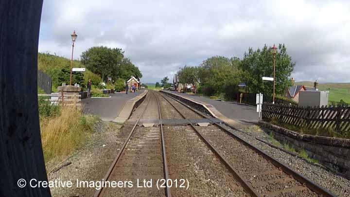
Horton-in-Ribblesdale Station - Barrow Crossing  & PROW (footpath)

Key details from the Location Record

Location Type
Level Crossing
Location Variant
Level Crossing - PROW (path or bridleway)
Assessment status
Assessed
Current Use(s)
Demolished
Shown on a land plan?
Yes 
Construction / installation period
2: MR construction phase (1869 to 31st Dec 1876)
Distance from London St.Pancras
242 miles and 39 chains
Position relative to running lines
Level-X
Visibility
This location IS visible from nearby publicly accessible land.
Accessibility (ease of access)
Easy
Protection Category
Not Applicable - demolished or relocated
Geographic Location
  View this location on mapping. or on aerial imagery.

Further Reading (Snippets)

The following 'snippets' contain additional information relating to this location.

Tip: To view a snippet, click / tap on its title.


Errors and omissions

Reasonable efforts are being made to ensure the accuracy of the information obtained and uploaded as part of the SCRCA Project. However, it is possible that a few errors will have crept-in. If you notice any such errors, we would be grateful if you would bring them to our attention using the SCRCA Project Contact Form. The Friends of the Settle-Carlisle Line and the members of the SCRCA Project Team do NOT guarantee the accuracy of the information contained in this database. If you intend to use and / or act upon any of this information, you are advised to verify its accuracy BEFORE doing so.