Practical Considerations
If you are considering a 'real world' visit to Garsdale Station, you might like to note the following:
- The nearest settlements with amenities are the market towns of Sedbergh (approximately 10 miles to the west by road) and Hawes (approximately 7 miles to the east by road).
- There is an excellent (but limited) public bus service from Garsdale Station to Hawes (with connecting services to the rest of Wensleydale). There is NO bus service from Garsdale Station to Sedbergh. For further information on the local bus services, visit the Traveline website - https://www.traveline.info/).
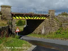
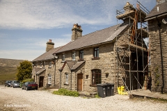
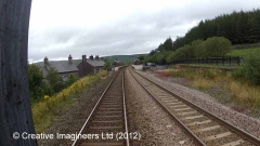
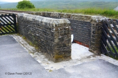
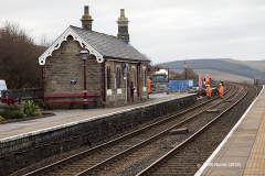
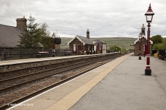
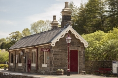
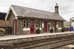
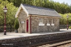
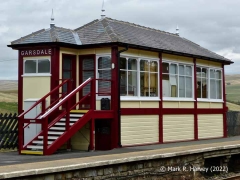
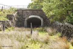
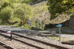
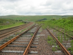
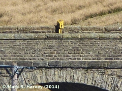
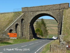
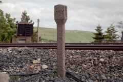
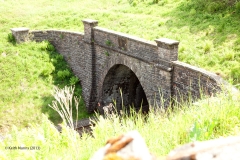
- The structures between Bridge SAC/115 and Garsdale Signal Box inclusive are all visible from the station platforms and / or the station approach roads.
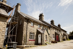
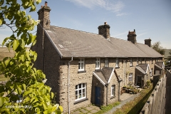
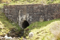
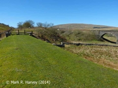
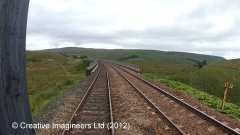
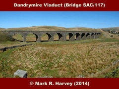
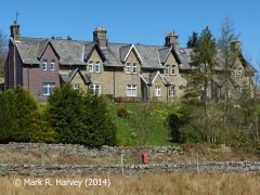
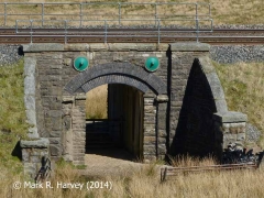
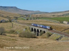
- The structures between Bridge SAC/115A and Moorcock Cottages can all be seen from the Pennine Bridleway. This runs parallel to the railway, and passes beneath Dandrymire / Moorcock Viaduct. This section of the bridleway has a reasonable (but slightly uneven) unpaved surface and it is relatively easy to find / navigate, even without a map. To find the bridleway, exit the station via the path / station drive, walk a short distance down the Coal Road (the public road that passes below the railway at Bridge SAC/115) and look-out for a field gate on the right, just behind the last / lowest set of railway cottages.
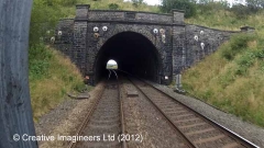
- The structures beyond Moorcock Cottages are only visible by walking along the FAST and potentially DANGEROUS main road (which has no pavement) or by navigating a series of local public footpaths and bridleways. If you decide to explore beyond the viaduct, stout footwear, warm clothing (even on a hot day), a windproof / waterproof jacket and some food and drink are all highly recommended. You are also advised to carry (and know how to use) a suitable map & compass.
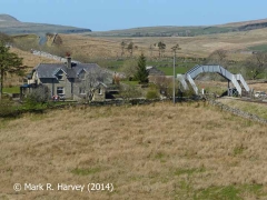
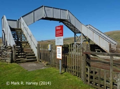
- On a reasonably clear day, the view from the top of Lunds Footbridge is superb. It includes the head of the Ure valley (Wensleydale) to the east and south, with Shotlock Tunnel and the hills flanking the Eden Valley (Wild Boar Fell and Mallerstang) to the north. To see what this landscape looks like on a glorious sunny day, see the photo captioned Lunds Viaduct (Bridge SAC/121) and Lunds Crossing: Context view from southwest.
- Useful information for rail-passengers (e.g. details of station facilities, fares and train times) can be obtained from the following:
- The infrastructure providor (Network Rail):
http://www.nationalrail.co.uk/stations/GSD/details.html - The train operator (Northern):
https://www.northernrailway.co.uk/stations/GSD
- The infrastructure providor (Network Rail):

