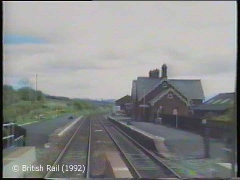
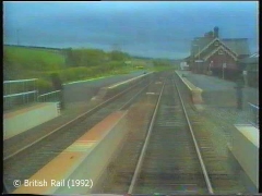
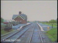
SCRCA site 288281: Langwathby Station

SCRCA Location Introduction

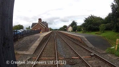
Langwathby railway station lies on the south-eastern edge of the village, approximately 234½ rail miles from London St. Pancras and 19¾ miles from Carlisle.

A station to serve the village was formally proposed by Messrs Crossley, Allport & Kirtley in October 1872 and a set of standard designs for the key buildings were produced by Mr. J. H. Saunders (the Midland Railway Company's Architect) in 1873.

The contract to construct the station facilities was awarded to George Black of Carlisle in mid July 1874 and building work began in 1875.

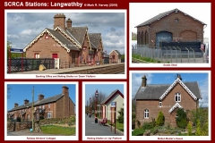
The exterior walls of the booking office, goods shed, station master's house and workers' cottages were constructed from red sandstone. However, the waiting shelter on the 'up' platform was unusual in that it had timber walls.

The station opened for both goods and passenger traffic on 1st May 1876 and the first Station Master was Joseph Shaw. For the first five months, the station was known as Long Wathby, but the name was altered to Langwathby on 1st October 1876.

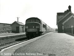
The station was closed for goods traffic on 6th July 1964 and for passenger traffic on 4th May 1970. However, when the weekend Dalesrail services were introduced on 1st May 1976, the station reopened as an unstaffed halt. The Dalesrail services were repeated every summer for a decade then, on 29th September 1986, a new year-round daily passenger service was introduced.

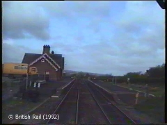
Langwathby station is now served by most of the trains operating Northern's Leeds-Settle-Carlisle service.

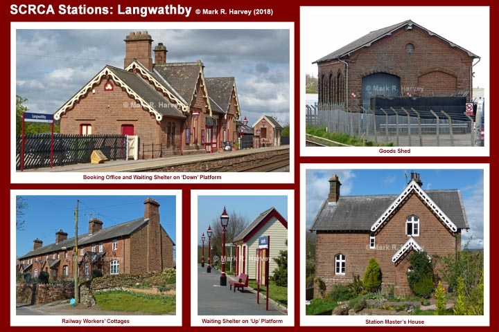
Photo-montage for Langwathby Station.

Key details from the Location Record

Location Type
Railway Station
Location Variant
Station Status - Open (Served by passenger trains)
Assessment status
Assessed
Current Use(s)
Commercial, Railway ops
Shown on a land plan?
Yes 
Construction / installation period
2: MR construction phase (1869 to 31st Dec 1876)
Distance from London St.Pancras
288 miles and 23 chains
Position relative to running lines
Both sides
Visibility
This location IS visible from nearby publicly accessible land.
Accessibility (ease of access)
Easy
Protection Category
Site within Conservation Area
Geographic Location
  View this location on mapping. or on aerial imagery.

Image Gallery

Tips: To view a larger version of an image, click on its thumbnail (i.e. the small image). To view the acknowledgements and notes associated with an image, click / tap on the image title.

Associated Locations

Further Reading (Snippets)

The following 'snippets' contain additional information relating to this location.

Tip: To view a snippet, click / tap on its title.


Errors and omissions

Reasonable efforts are being made to ensure the accuracy of the information obtained and uploaded as part of the SCRCA Project. However, it is possible that a few errors will have crept-in. If you notice any such errors, we would be grateful if you would bring them to our attention using the SCRCA Project Contact Form. The Friends of the Settle-Carlisle Line and the members of the SCRCA Project Team do NOT guarantee the accuracy of the information contained in this database. If you intend to use and / or act upon any of this information, you are advised to verify its accuracy BEFORE doing so.