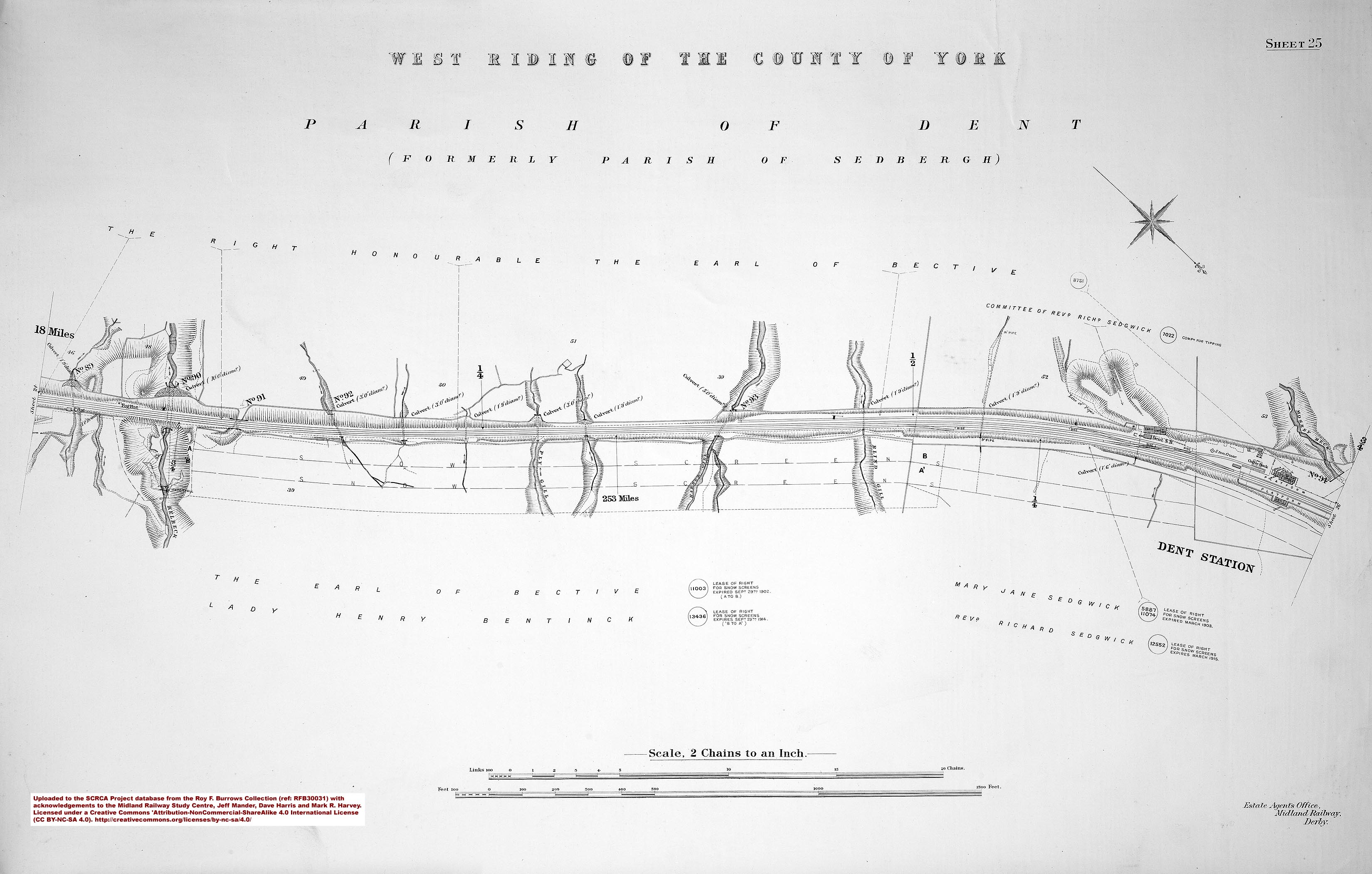
At 1,150 feet above sea level, Dent is the highest mainline station in England. It is also one of the most remote. (The only sizeable settlement in Dentdale is Dent village, which is four and a half miles from the station via the shortest road route.)
When the Settle & Carlisle Railway was being planned, the Midland Railway Company's management were not certain that a station in Dentdale could be justified. By June 1874, two possible locations were being considered: Dent Head (near the south end of the upper dale) and Arten Gill (mid-way along it). On 2nd August 1875 (when the first goods train travelled along the full length of the line), the matter had still not been resolved. On 30th November 1875, the construction committee finally decided that a station should be provided beside the Coal Road (near the north end of the upper dale, where it curves sharply westwards).
The station opened for goods traffic on 6th August 1877 and it handled 3,225 passengers during 1878 (the first full year of passenger operations).
The station closed for goods traffic on 1st October 1964 and for passenger traffic on 4th May 1970. It reopened again (for passenger traffic only) on 29th September 1986.
The station is unstaffed, but there is a waiting room and electronic passenger information display on each platform.
The former booking office is now owned by the Friends of the Settle Carlisle Line (FoSCL) and it operates as a holiday let. (For further information, see https://www.foscl.org.uk/.)


 with A4 No. 4498 'Sir Nigel Gresley'.")


.")
.")
 1.")
 2")
.")