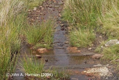
SCRCA structure 247800: Ribblehead Railway Construction Camp: Tramway System

SCRCA Location Introduction

When building a railway in the middle of nowhere, it may be necessary to build a tramway system first.

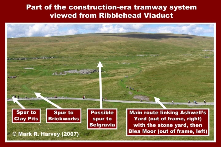
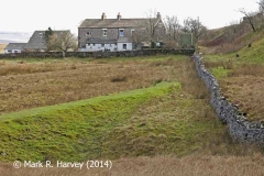
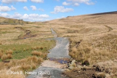
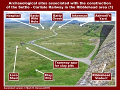
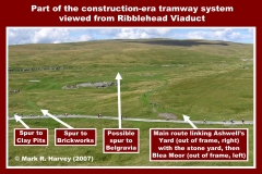
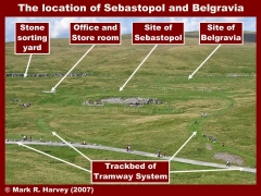
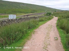
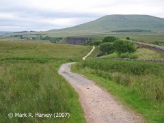
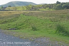
To facilitate the contruction of the Settle-Carlisle Railway, an extensive narrow-gauge tramway system was constructed to link Blea Moor with the area now known as Ribblehead. Although the trackwork and buildings have all been removed, the earthworks associated with the trackbed are still clearly visible in the landscape. In the large image below, they appear as darker green lines of smoother grass, curving through the rougher vegetation. The grey-coloured access road also lies on the alignment of a section of the tramway.

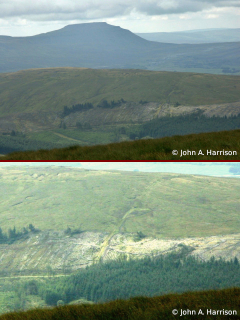
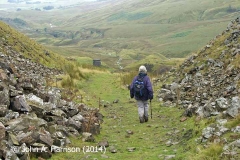
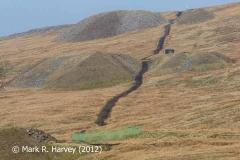
The 2½ mile section of tramway between the Hawes-Ingleton Road and Force Gill was constructed in just one month and it was operated by steam locomotives running on the rails. The two steeper sections (from Force Gill, over Blea Moor, then down to Dent Head) were rope- or cable-operated inclined planes. These were powered by a pair of stationary steam engines, one installed at the top of each incline. At the summit on Blea Moor, a short section of relatively level track linked the two inclines, providing a continuous route from Ribblehead to Dent Head. The track-gauge used for the various sections of the tramway system has not yet been ascertained. One contemporary source mentions "a two-foot gauge road up the hill-side" (on Blea Moor), but this may have been a very temporary arrangement to assist with the movement of the fixed winding engine.

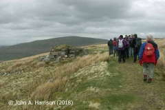
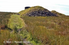
The Crag of Blea Moor Tramway linked the main tramway with quarries on the summit of Blea Moor.

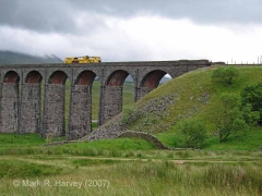
247800_2007-07-22_MRH_AR_RRCC_Tramway-System_From-Ribblehead-Viaduct

Key details from the Location Record

Location Type
Archaeological Site
Location Variant
Archaeologal Site - Tramway
Assessment status
Assessed
Current Use(s)
Demolished
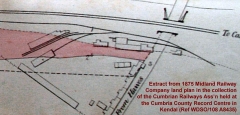
Shown on a land plan?
No 
Construction / installation period
2: MR construction phase (1869 to 31st Dec 1876)
Distance from London St.Pancras
247 miles (chains not estimated)
Position relative to running lines
Remote
Visibility
This location IS visible from nearby publicly accessible land.
Accessibility (ease of access)
Moderate
Protection Category
Scheduled Ancient Monument
Geographic Location
  View this location on mapping. or on aerial imagery.

List Entry Extract(s)

The information quoted below has been extracted from the relevant List Entries in 'The National Heritage List for England (NHLE) (https://historicengland.org.uk/listing/the-list/).

Tip: To open the full extract, click / tap on the List Entry Number in the left hand column.

List Entry Number (LEN) List Entry District List Entry Name
1015726 Craven Ribblehead railway construction camp and prehistoric field system

Image Gallery

Tips: To view a larger version of an image, click on its thumbnail (i.e. the small image). To view the acknowledgements and notes associated with an image, click / tap on the image title.

Further Reading (Snippets)

The following 'snippets' contain additional information relating to this location.

Tip: To view a snippet, click / tap on its title.


Errors and omissions

Reasonable efforts are being made to ensure the accuracy of the information obtained and uploaded as part of the SCRCA Project. However, it is possible that a few errors will have crept-in. If you notice any such errors, we would be grateful if you would bring them to our attention using the SCRCA Project Contact Form. The Friends of the Settle-Carlisle Line and the members of the SCRCA Project Team do NOT guarantee the accuracy of the information contained in this database. If you intend to use and / or act upon any of this information, you are advised to verify its accuracy BEFORE doing so.