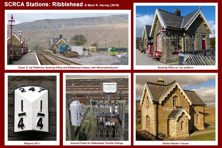
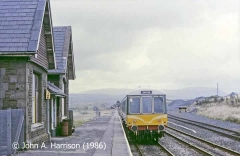
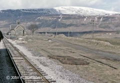
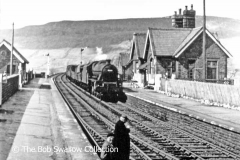
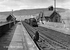
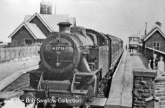
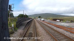
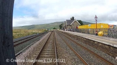
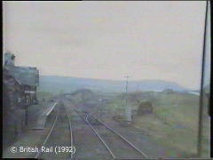
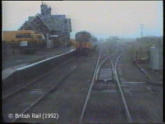
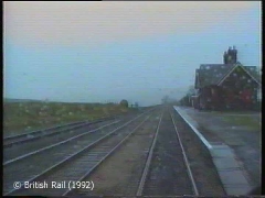
A station at Ribblehead was not included in the original plans for the Settle-Carlisle Railway (the initial plan being to serve upper Ribblesdale from a station at Selside).
It is not clear why the plans were changed, but in 1875 the Midland Railway Company (MRC) sought Additional Powers to purchase 2 acres, 3 rods & 11 perches of extra land to the south-east of the Ingleton - Hawes road in order to build a station closer to the head of the Ribble Valley. The request was granted and a station was duly built, complete with a standard-design 'small' main station building. The station officially opened for passenger traffic on the 4th of December 1876 and for goods traffic on 1st May 1877 and the facilities included:
- a pair of passenger platforms,
- a standard-design 'small' booking office building on the 'up' platform,
- a standard-design waiting shelter on the 'down' platform,
- a detached house for the station master,
- a small goods yard, and
- a pair of lie-by sidings (one on each side of the main running lines).
The yard facilities were located on the 'up' side of the main running lines and they included a cattle dock (capable of accommodating three wagons), a general loading dock, sidings for coal & general merchandise and a yard office with weighbridge.
Rail traffic through the station was controlled from a signal box located close to the cross-over at the south end of the passenger platforms.
The station was referred to as "Ingleton Road" during the planning and early construction phases, but the official name was altered to "Batty Green" at some point prior to the station's opening for passenger use. However, on 19th July 1876 the Rev. E. H. Woodall of Settle wrote to the MRC's HQ in Derby proposing that the name be altered to "Ribblehead". This proposal was eventually accepted and the station officially became "Ribblehead" on 1st May 1877.

